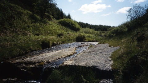
Mill Burn. Image by: Duncan Hutt.
Know before you go
Dogs
When to visit
Opening times
There is no formal access for the general public onto this site.Best time to visit
There is no formal access for the general public onto this site.About the reserve
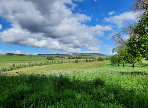
A narrow strip of grassland lies between blocks of conifer plantations. The Mill Burn runs through the centre of this strip with sections running over bare slabs of limestone, and the steep banks rise up to the forest edge on each side. An overhanging limestone outcrop occurs on a spur leading east from the reserve. The banks are a varied mix of ferns, bilberry, heather and grasses, with some bracken which, after years of management, is now under control and receding. At the upstream end, the site is extremely wet.
The site contains a diverse range of grassland types including limestone, mire and heath types. Notable species on the site include grasses of parnassus, blue moor-grass in patches along and near the burn, and common butterwort on the mire areas and burn edges. Early marsh-orchid occurs in a few locations in the site. Green spleenwort grows in sheltered locations on the limestone outcrops near the top of the site. Adders frequent the site and golden-ringed dragonfly has been recorded. There are also a number of interesting freshwater species in the burn.


