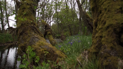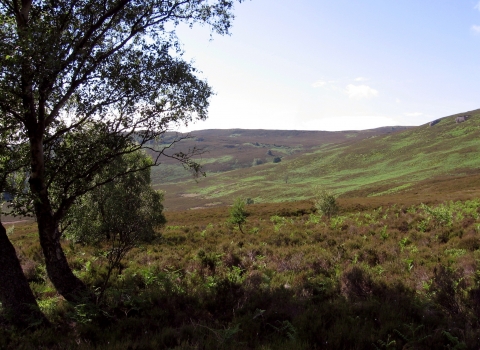
Barrow Burn Wood. Image by: Steven Playle.
Barrow Burn Wood
A small area of ancient deciduous woodland nestled above the Barrow Burn, a tributary of the Coquet.
Know before you go
Dogs
When to visit
Opening times
24/7/365Best time to visit
Autumn and springAbout the reserve
The ancient mixed deciduous woodland includes alder, willow and hazel and also features calcareous flushes include butterwort and marsh lousewort. The central part of the site has a ground flora of ramsons (wild garlic) and primrose with some opposite-leaved golden saxifrage.
There is rich birdlife including sparrowhawk, cuckoo, treecreeper, woodwarbler and pied flycatcher. Badgers are present in the wood with otters using the stream. The site is managed in association with Defence Estates and Northumberland National Park Authority.
Species
Habitat
Contact us
Environmental designation
Local Nature Reserve (LNR)
Site of Special Scientific Interest (SSSI)

