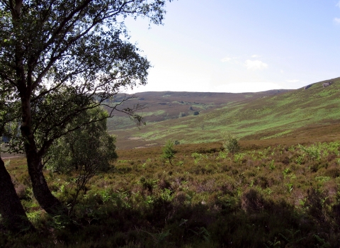
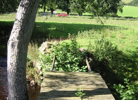
Holystone Burn. Image by: Duncan Hutt.
Holystone Burn
Know before you go
Dogs
When to visit
Opening times
24/7/365Best time to visit
April to JuneAbout the reserve
The woodlands of the valley floor have a rich field layer of woodland and woodland edge plants, and the heathland flushes feature bog myrtle and a small reed bed.
At the upstream end of the site, the broadleaved woodland extends up the north slopes of the valley into an area known as Yardhope Oaks. The Oaks, an area of sessile oak woodland, is present at an unusually high altitude (circa 200m), on dry, steep slopes above the burn. The reserve is managed in partnership with the Forestry Commission. The plantation forestry in the valley is being removed slowly to allow native and natural woodland to re-establish here. In the eastern section of the woodland, juniper is an important component and there is juniper scrub for about 1000m either side of the Holystone Burn. Juniper has a very scattered distribution in Northumberland, occurring in the Coquet valley, Allendale district and around Cheviot. At only 3 sites - Hepple Whitfield, Harehope and Holystone - does it form anything approaching juniper scrub. As well as forming scrub thickets it is also scattered on the open land beyond the woodland.
In places, particularly west of Washpool Sike and on the northern edge of Holystone Common, bog myrtle with purple moor grass is abundant in flushes. This is a particular feature of the uplands of this part of Northumberland. Two locally important ferns have been recorded on the south bank of the stream in the oaks area - oak fern and beech fern. Two other important species have been recorded on the site - lesser twayblade and the rare cotton grass. Roe deer are present in good numbers and any trees planted on the site will need to be protected from deer browsing. Other species recorded are badger and red squirrel. Bird species known to breed on the site include pied flycatcher, merlin, green woodpecker, greater spotted woodpecker, dipper, goosander and common sandpiper. The site has two species of reptile - adder and common lizard, and two amphibians, common frog and common toad. The northern wood ant occurs in the reserve: this is a very local species in North East England. The juniper pug moth has been seen in large numbers. In total, 186 species of moths and butterflies have been recorded on this site.


