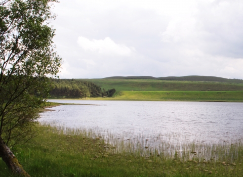
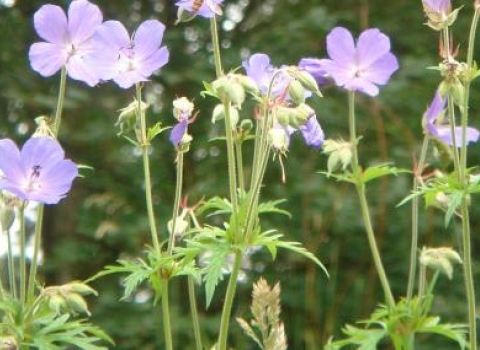
East Crindledykes Quarry. Image by: Duncan Hutt.
East Crindledykes Quarry
Location
Know before you go
Dogs
When to visit
Opening times
24/7/365Best time to visit
April to JulyAbout the reserve
The quarry faces are between 3 and 6 metres high and show exposures of the Great Limestone, a band of rock that can be found sweeping around south Northumberland, close to the Whin Sill. A nearby lime kiln processed the rock from here and has been restored by the National Park Authority.
The flora includes autumn gentian, salad burnet, thyme, cowslip, hoary plantain, heath grass and crested hair grass. The vegetation around the southern and eastern margins is tall grassland with a few hawthorn bushes. The grass is cut and removed once per year and is occasionally lightly grazed over the winter. The quarry, including the larger area to the west, was used for landfill of colliery waste. The waste in the Trust reserve was partially removed but that to the west still remains.


