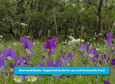
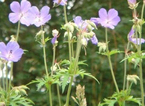
Williamston. Image by: Richard Clark.
Know before you go
Dogs
When to visit
Opening times
24/7/365Best time to visit
April to JulyAbout the reserve
The reserve falls into two main zones: an area of grassland and an area of woodland. It sits on the east bank of the River South Tyne, one of a sequence of about 30 shingle bars deposited along the length of the river during the last 250 years. This one was probably created in the great floods of 1771 or 1815 and last disturbed in the flood of 1903, although parts of the reserve have been flooded since. The position of the river channel is now relatively stable and the reserve has not suffered significant erosion in the last 20 years. The fine sediment between the cobbles is contaminated with heavy metals derived from mining activity upstream, particularly lead, zinc, cadmium and barium. It is now partly wooded, with areas of tall grass, scrub and calaminarian grassland.
The woodland at the far end of the reserve is dominated by downy birch, with alder, sycamore and goat willow, and contains an important population of dune helleborine. There is also a small patch of woodland by the entrance. The helleborine is typically found on sand dunes or on humus-rich, metalliferous soils under birch. It is sensitive to trampling and grazing. Low lying parts of this woodland are subject to periodic flooding, and received an influx of zinc-rich silt derived from spoil heap stabilisation work on the River Nent in 1999, which may advantage the metallophyte species over the next few years. An understorey of raspberry is developing in several places in the woodland. The pelt lichen peltigera venosa is a nationally scarce species recorded on the grassland.
The calaminarian grassland is found in two main patches close to the entrance, on the highest part of the shingle bar. The soil here is thin and freely draining, although in winter the surface cover of algae and cyanobacteria often makes it appear to be very wet. Nitrogen and phosphorus levels are low, while heavy metal levels are high. This area supports significant populations of metallophyte species, including spring sandwort, alpine pennycress, thrift, mountain pansy and Pyrenian scurvy-grass, together with a rich assemblage of lichens. Another metallophyte sometimes associated with this type of grassland, sea campion, is not found on the South Tyne river gravels at this altitude. The bryophyte assemblages are distinctive and characteristic of heavy metal contaminated shingles, and the fungi may also be of interest.


